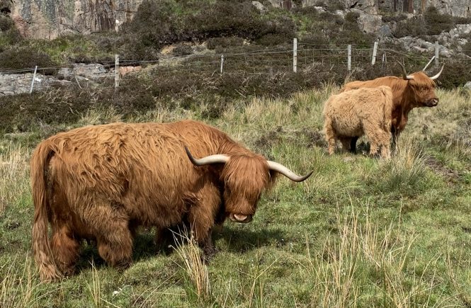
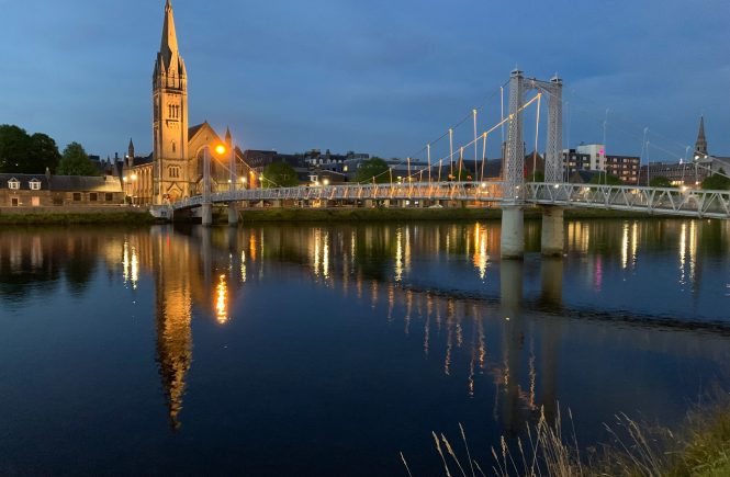
We had three days in Skye and we jam packed every single one of them. We had grand illusions of hiking every day and did a fair job of accomplishing that. We realized towards the end that all of our hikes ended up showing us the far extremes of each side of the island.
To the west we had Neist Point, the literal westernmost spot in Skye that has a paved trek down one cliff and up the next to view the light house and peninsula over Moonen Bay and the Atlantic. Adam located this particular hike and when he showed me pictures I recognized it immediately as one of the gorgeous screen saver images on our smart TV and declared it a must-do. Decisions have been made for dumber reasons. The drive to get here was one that several websites warned about as it is a narrow single track road (with pull offs! Groan.) over blind summits and crazy turns. Oh with a cliff off one side. Before you even start the hike your butt gets a great clinch based work out. We found a parking spot fairly easily, I guess reading everywhere how horribly crowded it can get has helped us manage our expectations and we have been pleasantly surprised by the relative lack of crowds thus far.
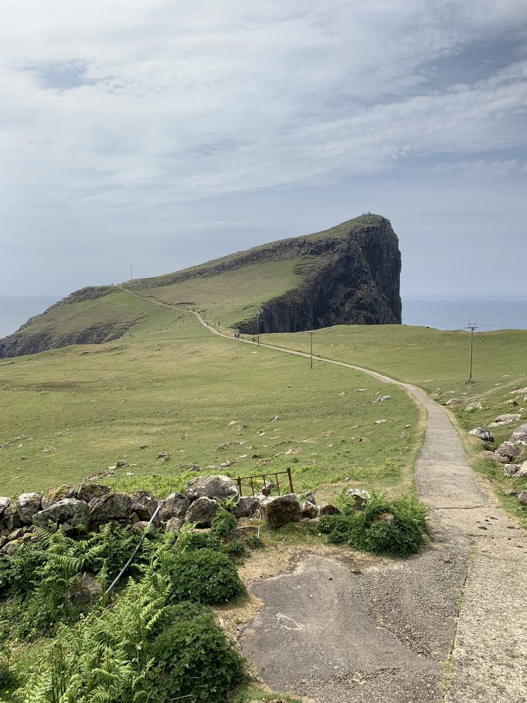
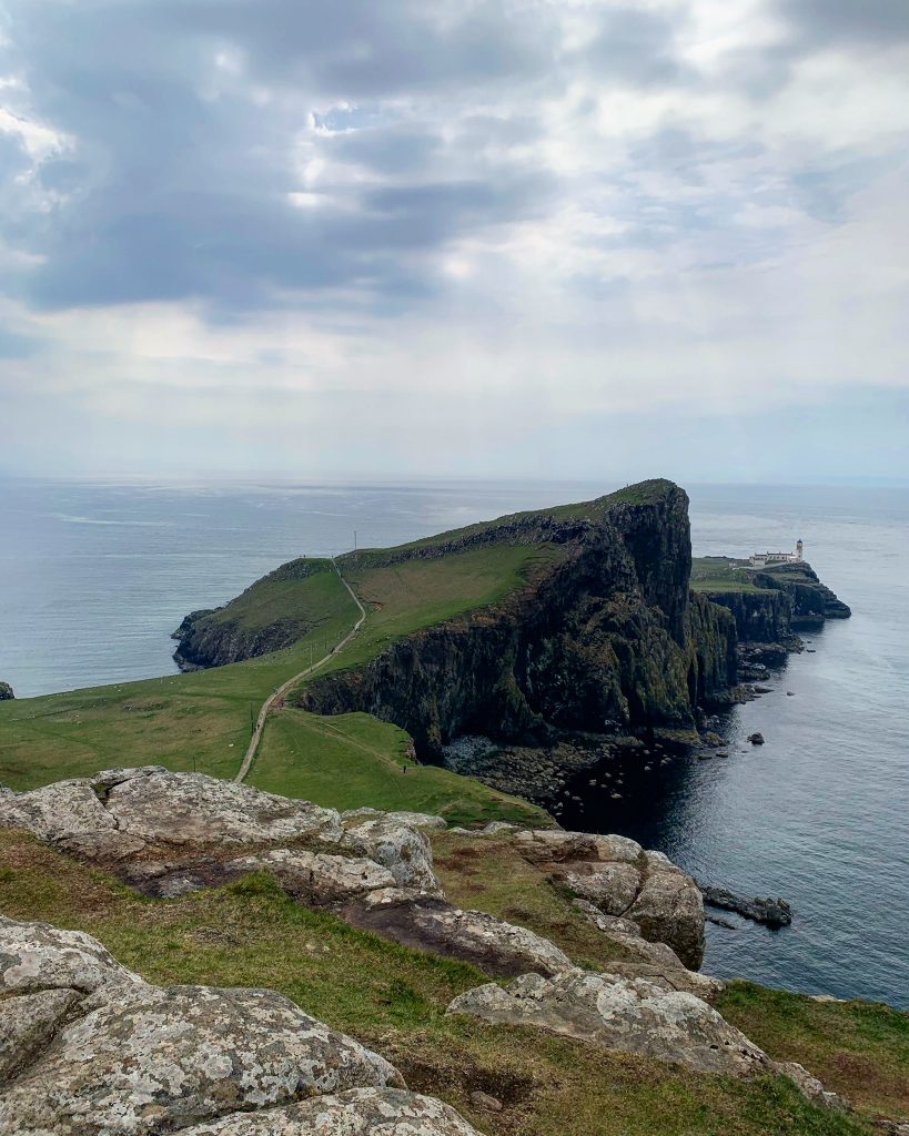
This was less of a traditional hike but no less taxing as the inclines were the steepest we’d yet encountered making us grateful for the pavement, steps and handrails. You go all the way down one cliffside for a brief reprieve through some pasture land before trekking all the way back up a second cliff and at the top here is where you get your first glimpse of Neist Point Lighthouse way out on the edge of the peninsula. As awesome as this viewpoint was, it was not the screen saver image that was emblazoned in my mind.
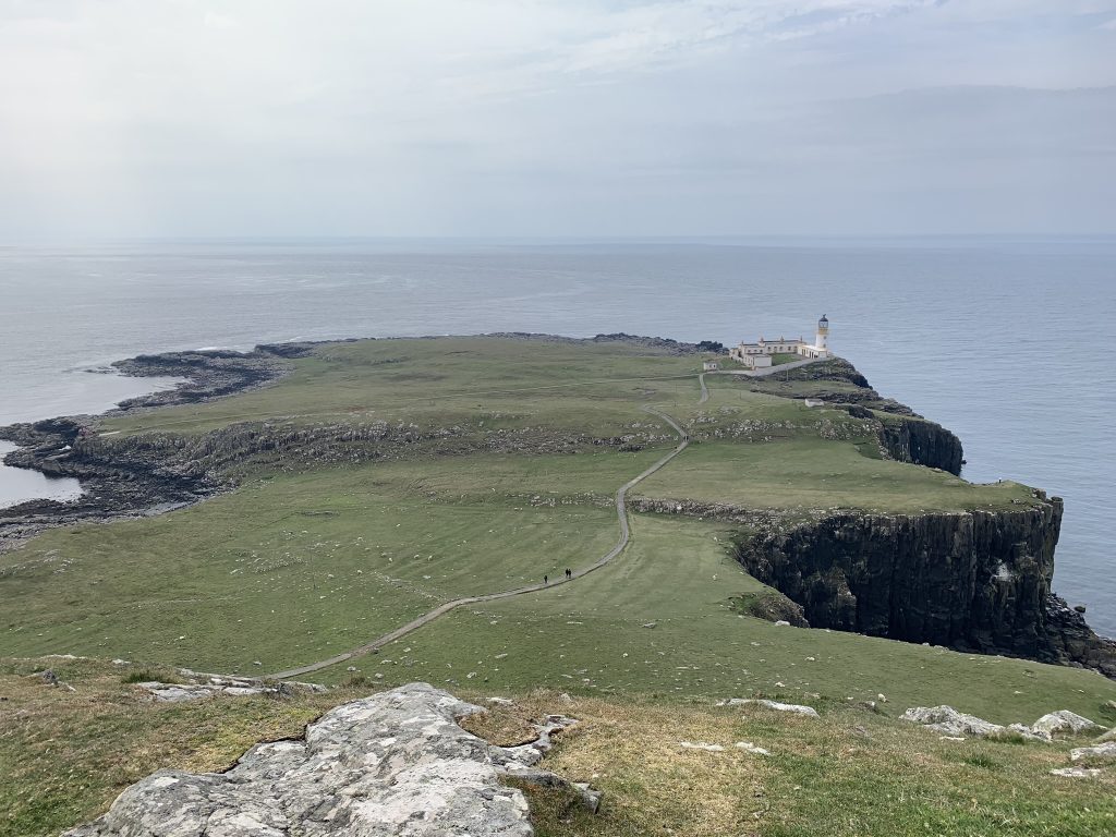
Looking back at what we’d just hiked and I saw where the vantage point must have been from – of course – the very top of the cliff we had just descended from. Well, we had to go back up it anyway, right? We had a nice little snack on some grass overlooking the amazing scenery. It even had an impact on Zeke as his normally chatty self simply sat on a rock eating his sandwich in silence taking in the view.
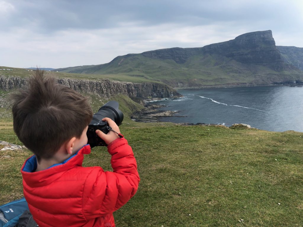
As we reached the top of the original cliff line it became clear that everyone else has the exact same TV we do and had clearly all seen “the picture” and been inspired in exactly the same way. We were joined by lots of other folks attempting to capture this amazing vantage point to their hearts content. There is something so satisfying about seeing something that I had found so beautiful and had assumed it was wildly remote in real life.
Lunch that day was had at this little café we had spotted on our drive up and, again, clearly we were not alone in our grand ideas for the day. The place had run clear out of their homemade soup! Luckily their sandwiches were delicious too…though in truth we’ll never really know how they compare. Such is life.
Friday morning dawned bright and early with sunrise in the 4 AM timeframe and we were up not long afterwards to start celebrating our very excited newly minted FOUR year old’s birthday. He opened some presents during our very quick breakfast and we were off to tackle the Quairaing Hike – a 4.5 mile loop along the Trotternish landslip with some truly remarkable rock formations. The official Isle of Skye website lists the hike as difficult while our other two were moderate…we were slightly concerned about what we might encounter, particularly with a toddler on our backs.

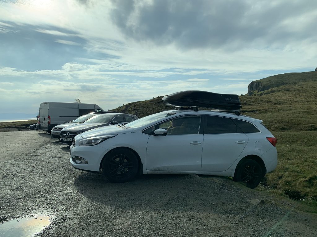
The drive up was another nail biter but at least this time it was truly early so there were far fewer cars to contend with. The parking for the hike, just as the website said, is quite minimal but we found a spot no problem, right next to the cautionary tale vehicle of the day who’d tried backing into his spot only to overshoot by just enough to be a day ruiner. We pulled straight in extra carefully.
And we were off! Adam had the forethought to screenshot the trail directions as there turned out to be zero signage or markings of any sort. There was one dicey spot where we had to shimmy across a rocky gap which was quite slick and steep both ways but the rest of the trail was quite doable and enjoyable. It was certainly helpful that after each slog uphill there was a nice plateau to recoup on rather than our shorter but straight up and down hikes.
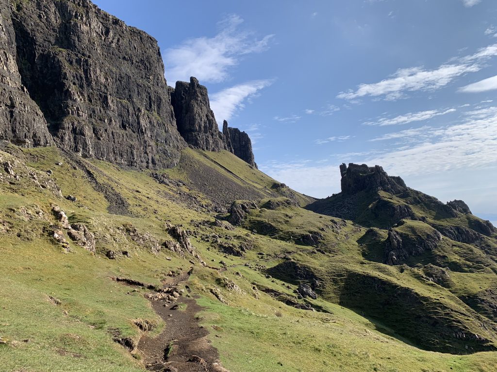
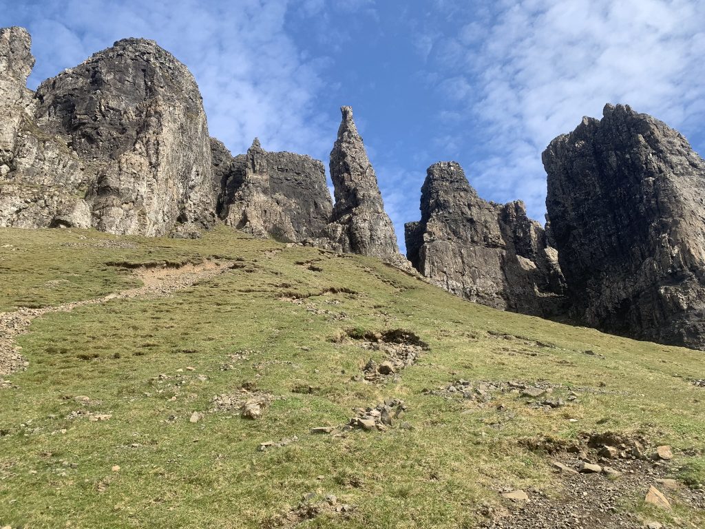
After passing through the main rock formations and a valley on the far side you go up, up, up again to get on top of the plateau that forms the cliff face. It’s as a brutal trek at first but once you make it to the top you are rewarded with spectacular views and can appreciate how vast the plateau truly is.
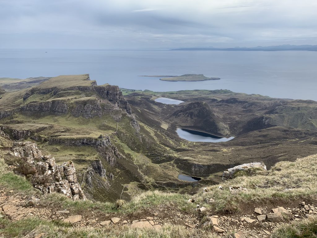
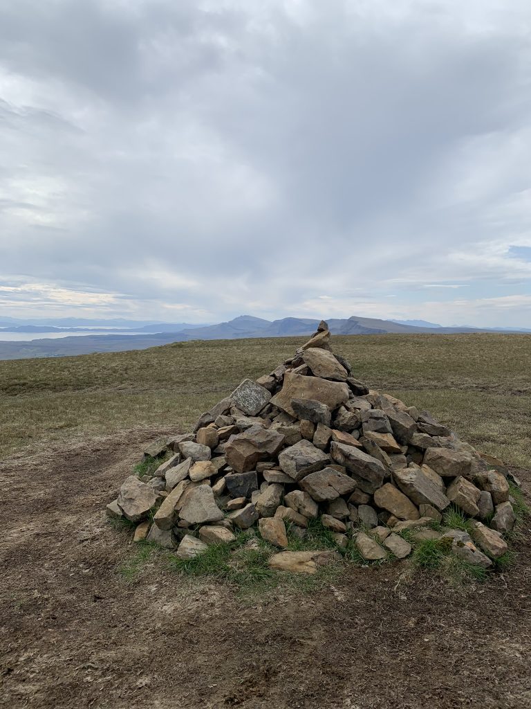
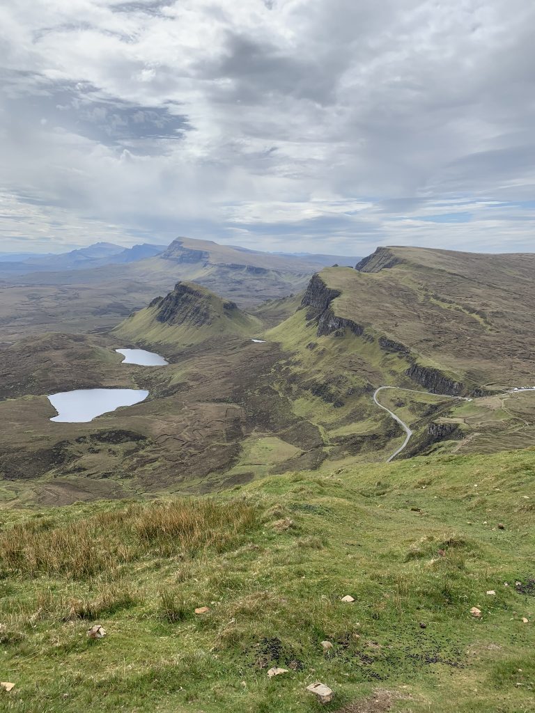
The way back takes you on a gently sloping path down the plateau with just a few minor rock scrambles to conquer. It was our longest hike of the trip and, we thought, a fantastic way to end our time on Skye.
The final corner of Skye* was to take us to a ferry crossing that would bring us back to the mainland for our final two days in Scotland. The ferry happens to be the southern most point of Skye so it made for a nice ending.
Or it would have. We failed to realize that, apparently, the tides here are running low at the moment and the several departure times listed on the website were actually just one. One departure for the day. Oh, and they did indeed accept advance bookings (unlike what the site said) they just had to be done via telephone. They don’t actually charge you for the advance booking, however, so there often is walk-on space, so to speak, as it is quite common for cars to simply not show up for their ticket. We decided to take our chances.
It was off to the races, take no prisoners style driving. We made it to the ferry in record time and got behind only two other cars in the non-booking lane. We waited patiently, enjoying the southernmost scenery, and watched as all the ticket holders boarded the ferry. Then the first car in our lane was able to board. Nail biting. Then the second car! We were pulling up to the gate attendant marveling at our wild luck just for him to tell us in person “not gonna make this one, I’m afraid”.
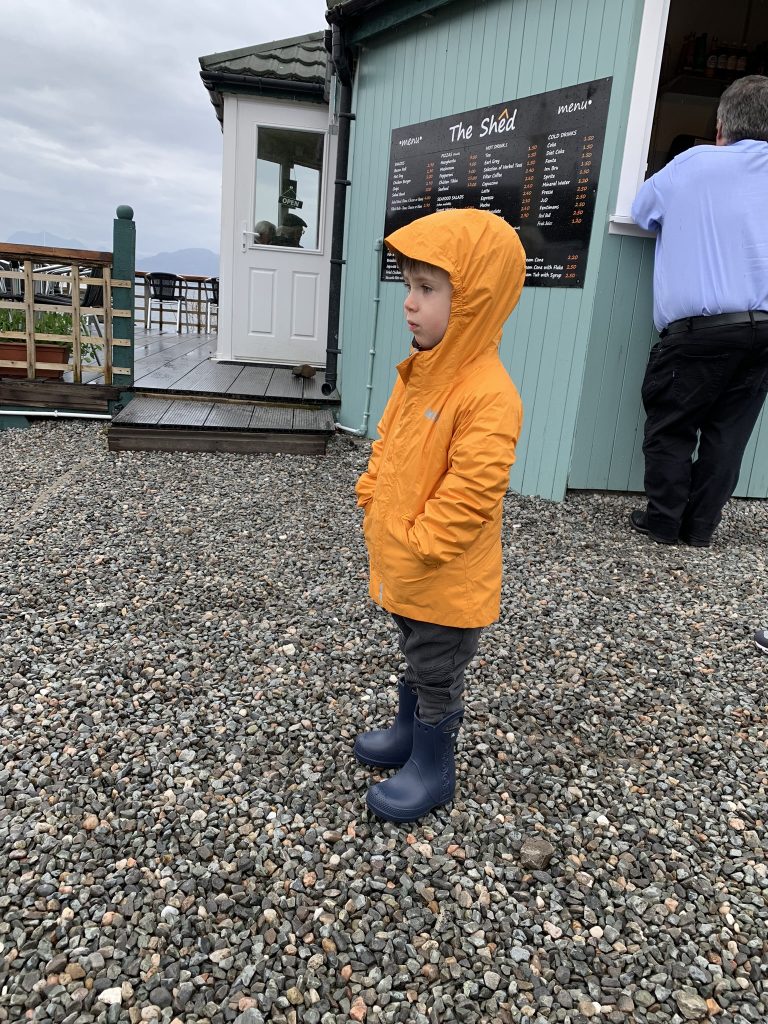
Ah well. Visiting the four corners of an incredibly cool island is a wild success in my book. `
*We are counting our Old Man of Storr hike/Quairaing hike as the northern corner though, technically, it’s a bit short; and the Skye Bridge at Kyle of Lochalsh as the easternmost corner.

